A practical, investor-friendly guide to Malaysia’s town & country planning system — from plan hierarchy and Kebenaran Merancang (Planning Permission) to development charges, TIA/EIA, and common pitfalls.
Town & Country Planning for Development Land (Malaysia)
Buying or repositioning development land in Malaysia isn’t just about location and price — it’s about planning compliance. This guide explains how the Town and Country Planning Act 1976 (Act 172) structures decision-making, how to obtain Kebenaran Merancang (Planning Permission), when development charges apply, and which impact studies (e.g., TIA, EIA) you’ll likely need.
1) The Legal Framework (Act 172): Who does what?
- National Physical Planning Council (NPPC / MPFN) sets top-level direction and advises on strategic proposals.
- Director General of Town & Country Planning (PLANMalaysia) prepares the National Physical Plan (NPP) and supports States.
- State Planning Committee leads state-level policy; Local Planning Authorities (LPAs) decide your planning application.
2) The Hierarchy of Plans: Check these first
- National Physical Plan (NPP) — national spatial strategy.
- Structure Plan (State) — state-wide policy; reviewed roughly every five years.
- Local Plan (PBT area) — zoning, intensity (plot ratio/density), buffers, road reservations; prevails in day-to-day control.
- Special Area Plan (SAP) — detailed plan for sensitive or strategic zones; has the effect of a local plan.
Tip: Using land contrary to the Local Plan is prohibited; if plans conflict with building by-laws, the development plan prevails (Act 172 s.31A).
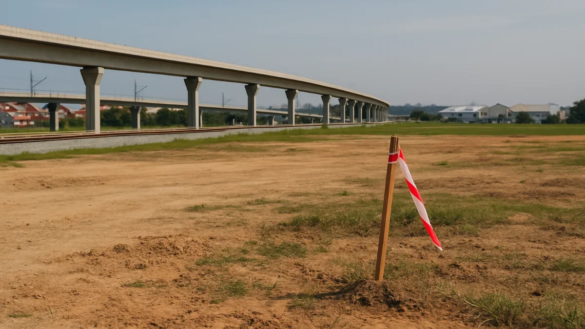
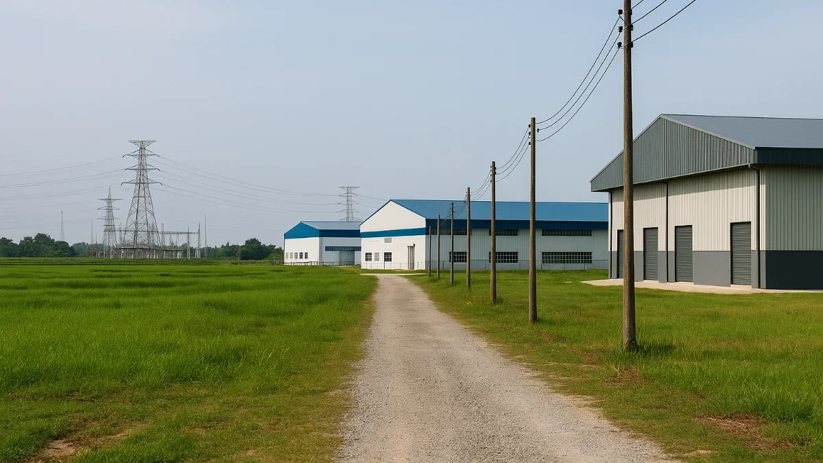
3) Is the land “development-ready”? Quick pre-checklist
- Zoning & intensity in the Local Plan (use class, density/plot ratio, setbacks, buffers). For Selangor, refer to State planning manuals.
- Title conditions (express/implied), restrictions in interest, reservations (road/river), high-tension buffers, flood lines.
- Access & infrastructure readiness: road hierarchy, utilities corridor, drainage outfall.
4) Kebenaran Merancang (Planning Permission): The core approval
Under Act 172 s.19, no one may commence or carry out development without planning permission. Applications are made to the LPA under s.21, with specified forms, plans and fees.
What your submission must cover (Development Proposal Report)
Act 172 s.21A–21B sets the content: concept & justification, site description (topography, drainage, vegetation), land ownership & restrictions, layout plans, impact analyses (including social impact), and other matters required by the LPA.
Decision & timelines
- LPAs consider the development plan, state directions, the Development Proposal Report and any objections (s.22).
- Permission may be approved (with/without conditions) or refused; approvals lapse if works don’t commence within 12 months unless extended (s.24).
- Appeals go to the Appeal Board within one month (s.23).
When federal advice is triggered (MPFN)
For new townships >10,000 people or >100 ha, major national infrastructure/utilities, or sensitive hilltop/slope areas, the State must seek advice via the Council during consideration (s.22(2A)).
5) Development Charge (DC): Budget it in
If a Local Plan (or its alteration) changes use/density/floor area and enhances the land’s value, a development charge is levied (Part V, ss.32–35). The LPA determines and notices the amount before granting permission; lump-sum or instalments (with interest) may be allowed. State rules set rates/exemptions.
6) Impact Studies & Complementary Approvals
- Traffic Impact Assessment (TIA) — required per JKR ATJ 38/2018 for developments affecting traffic capacity and safety.
- Environmental Impact Assessment (EIA) — required for prescribed activities (Schedule) under the Department of Environment; scope and thresholds vary.
- Local standards — density, parking, open space and urban design by each State (e.g., Selangor planning manuals).
7) Typical Process & Team (OSC 3.0)
- Concept & pre-consultation with LPA/PLANMalaysia team (planner/architect/engineers).
- KM pack: forms, ownership/consent, land status, concept layout, DPR (s.21A), technical reports (TIA, SIA, environmental notes), utility clearances.
- OSC circulation to technical agencies; respond to comments and conditions.
- Decision: approval with conditions / refusal; appeal if needed.
- Post-KM: detailed submissions (earthworks, drainage, building plans) and subsequent clearances.
Note: Timelines can vary by proposal complexity and agency feedback; OSC 3.0 standardises circulation, but durations differ by authority and submission quality.
8) Intensity Controls: Plot Ratio vs Density (Know the difference)
- Plot Ratio = total floor area ÷ site area (controls built intensity).
- Residential Density = dwelling units per land area (controls population intensity). State manuals specify ranges by location typology.
9) Common Red Flags (and Fixes)
- Out-of-zone use: seek Local Plan amendment or design to comply with prevailing use.
- Insufficient access: upgrade junctions/lanes per TIA; reserve setbacks and improve internal road hierarchy.
- Environmental sensitivity: confirm if activity is prescribed; if yes, scope EIA early with DOE.
- Development Charge surprise: model DC scenarios early under State rules before locking GDV.
Documents Checklist (KM/DPR)
- Owner’s consent & latest title search; cadastral plan.
- Concept masterplan with land use schedule; setbacks, buffers, open space.
- DPR per s.21A: site description, constraints, social impact, vegetation survey, layout plans.
- Supporting: TIA (ATJ 38/2018), utilities letters, drainage/outfall notes, baseline environmental notes/EIA screening.
Start Your Search for Agricultural, Industrial, or Land Investment
- Explore Agricultural and Development Land for Sale
- Browse Industrial Properties in Rural Areas
- See Commercial Assets Supporting Agri-Supply Chains
Disclaimer: This guide simplifies complex regulations. Always verify the latest local plan, state guidelines and submission requirements with the relevant Local Planning Authority.