A practical 2026 investor guide to spotting land value upside along Malaysia’s rail and expressway corridors—how to map travel-time savings, read station/ramp micro-locations, and underwrite realistic uplifts.
Rail & Expressway Corridors: Where Land Values Could Move Next
Quick take: Land values tend to move first where travel time is cut, access becomes safer/easier, and job/amenity nodes densify. In 2026, watch for last-mile upgrades to rail stations and new/expanded expressway interchanges. This guide shows how to map the opportunity and underwrite uplift prudently.
Why Corridors Reprice Land
- Time dividend: A 5–10 minute reduction to major employment or logistics nodes often cascades into stronger demand for housing, retail, and industrial plots.
- Reliability & safety: Covered links, proper crossings, acceleration/deceleration lanes and better signage increase real usability—not just theoretical access.
- Node formation: Interchanges and stations attract petrol/F&B, clinics, warehousing and small-format retail, maturing into new sub-centres over time.
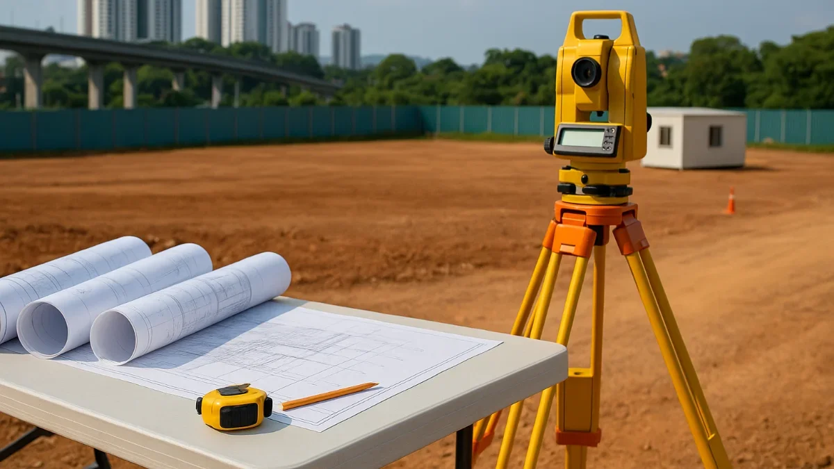
How to Screen a Corridor (Investor Workflow)
- Map anchors: Ports, airports, industrial estates, universities/hospitals, lifestyle centres within 15–30 minutes.
- Quantify travel time: Off-peak vs peak; pre- and post-interchange timeline; identify true time savings.
- Spot the micro-nodes: Station exits, park-&-ride, feeder bus loops, toll plazas, U-turns, lay-bys and truck rest areas.
- Check engineering constraints: River/JPS reserves, HT lines, flood zones, sightlines and turning radii for 40-ft containers.
- Read the planning layer: Local plan zoning, allowable use mixes, density/plot ratio, setbacks and buffer rules.
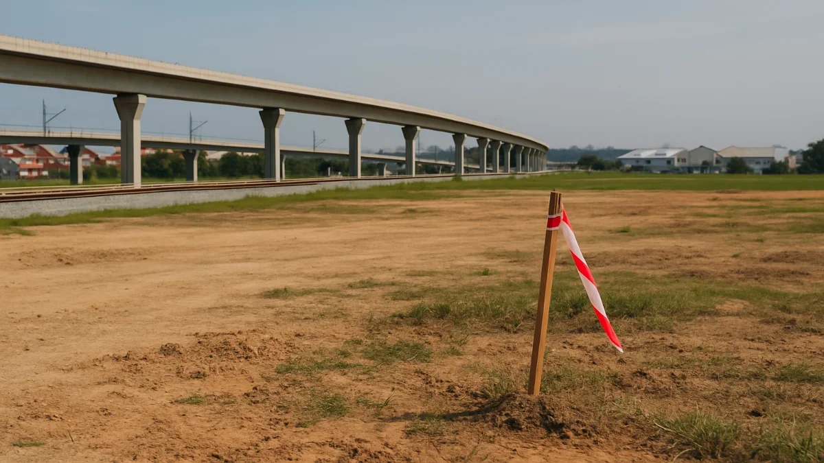
Station & Interchange Archetypes (What Tends to Win)
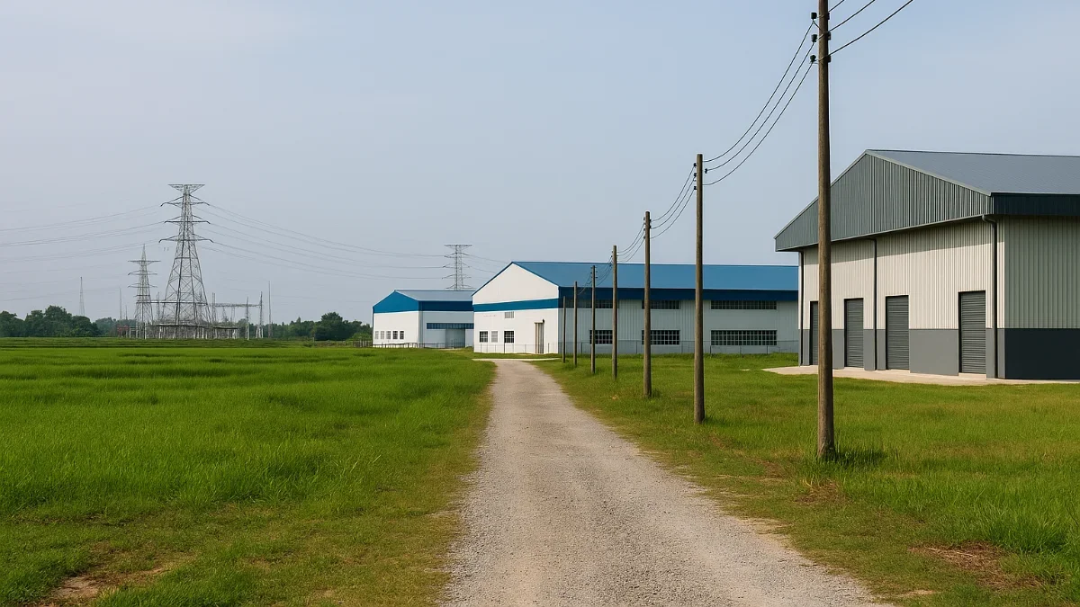
- Interchange + Industrial Edge: Logistics plots and SME factories first; later, worker housing and daily-needs retail.
- Rail Station + Campus/Medical: Neighbourhood retail/F&B and mid-rise residential within 400–800 m.
- Suburban “Doubly Served” Nodes: Areas within a short drive of an interchange and a rail station—good for mixed-use and park-adjacent commercial.
- Service/Rest-Stop Adjacent: Destination F&B, drive-thru, EV charging, light logistics; landbanks for future business hotel use.
Micro-Location Signals to Track
- Ramp geometry: Distance from your site to on/off ramps and whether the approach is intuitive without U-turns.
- Station egress: Which exit most commuters use; are there covered/ shaded walkways to your frontage?
- Freight friendliness: Turning radii, lane width, height clearances; ability to accommodate 40-ft containers.
- Parking & drop-off: Weekend car access even for rail-first sites; e-hailing bays matter.
Corridor Scoring Grid (Copy–Use)
| Criterion | Weight | Score 1–5 | Notes |
|---|---|---|---|
| Travel Time Saving to Key Node | 25% | Peak vs off-peak; measured, not estimated. | |
| Last-Mile Quality (walkways, crossings, signage) | 20% | Covered links & safe turns amplify value. | |
| Existing Demand Drivers (jobs, education, healthcare) | 15% | Strength today beats promises tomorrow. | |
| Utility Readiness (power/water/sewer/fibre) | 15% | Substation proximity; water pressure; sewer capacity. | |
| Zoning Flexibility (mix & intensity) | 15% | Local plan alignment; buffers & setbacks. | |
| Competition / Pipeline | 10% | New parks/malls nearby; cannibalisation risk. |
Uplift Pathways & Valuation (Simple Model)
Think in steps—access improvement ? traffic capture ? land use intensity ? pricing.
- Before: Land value0 (RM/acre) under current use and access.
- After: Residual value from the intended use once access and approvals are in place.
- Uplift: ?Value = Residualafter - (Land basis + premiums/fees + enabling works + carrying cost).
Residual shortcut: Value ˜ Stabilised NOI ÷ Cap Rate (for income) or GDV - TDC - Developer Margin (for strata/lot sales).
Always sensitivity-test travel time, take-up and cap rates.
Common Playbooks by Asset Type
Industrial / Logistics
- Prioritise interchange proximity & 40-ft access; secure power (33/132kV) LOIs early; phase small SME plots first.
- Market minute-savings and truck route reliability; design generous aprons and turning radii.
Residential / Mixed-Use near Rail
- Focus 400–800 m walksheds; ensure safe crossings; curate daily-needs retail at ground level.
- Emphasise liveability: parks, shaded links, bike storage; manage parking ratios prudently.
Roadside Commercial (Interchange)
- Drive-thru pads, petrol/EV, clinics and QSR; protect sightlines and provide intuitive ingress/egress.
- Secure signage rights and shared access agreements early.
Risk Watchlist (and Mitigations)
- Timing mismatch: Corridor opens later than planned—structure conditional SPAs/options and staged CapEx.
- Access design shortfalls: Budget for link bridges, turning lanes or new access spurs if required.
- Utility lag: Power/water upgrades can outlast roads—sequence applications; allow substation land if needed.
- Environmental/servitude constraints: JPS/rail/road reserves, HT buffers, flood history—protect NLA assumptions.
Due Diligence Checklist (Copy–Paste)
- Travel time survey (pre vs post opening) at peak and off-peak.
- Title search: category, express conditions, encumbrances, reserves, access rights.
- Local plan alignment: zoning, plot ratio/density, setbacks, height limits.
- Utilities: current loads, substation/pipe distance, sewer capacity, dual-route fibre.
- Engineering: flood records, platform levels, soil type; sightlines & turning templates.
- Competition audit: nearby parks/malls/land launches; pricing benchmarks.
- Financials: premiums/fees, enabling works, contingency, carry cost of time.
Start Your Search for Agricultural, Industrial, or Land Investment
- Explore Agricultural and Development Land for Sale
- Browse Industrial Properties in Rural Areas
- See Commercial Assets Supporting Agri-Supply Chains
Disclaimer: Processes, costs and timelines vary by state and site specifics. Always consult qualified professionals and relevant authorities before making decisions.